Sedona Part I: Stunning Sights and Hikes
Posted on April 28,2021 By John and Linda Compisi
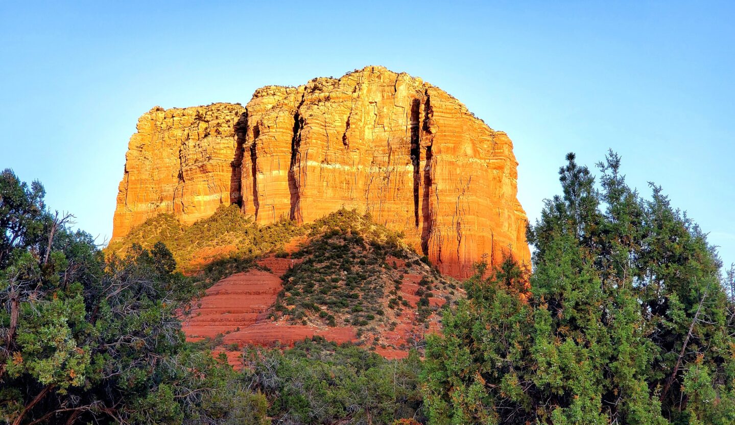
My mind was swirling as I stood in awe of the other-worldly red rock formations spanning my vantage point. Bell Rock, Court House Butte, Cathedral Rock were just a few of the wondrous displays of the magnificence of nature I experienced the first time we ventured to Sedona many years ago.
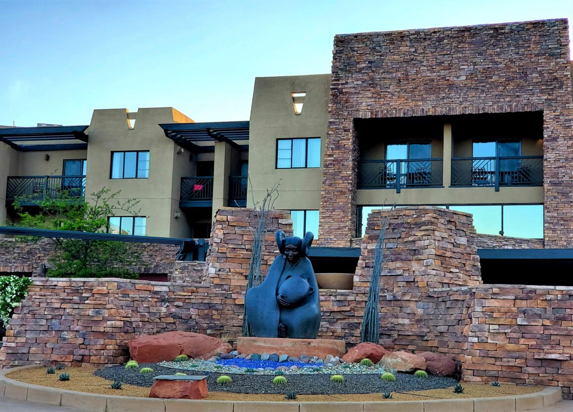
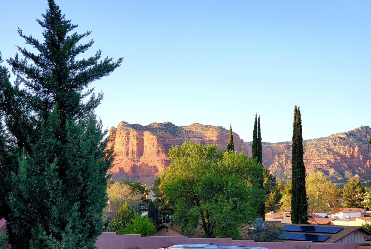
That feeling returned without abatement when we escaped to Sedona in early April as we continue to find ways and places to fight off the crush of lockdowns and other COVID restrictions. It has been important for our mental and physical health to be out in the fresh air and hiking the beauty of America. What better place than Arizona. We were also celebrating a birthday!!
Being avid hikers, foodies and adult beverage aficionados, we broke our reportage into two parts. This is Part I where we review our hiking and sightseeing adventures. Part II will follow with lodging, dining (with beverages of course) and other recommendations to enjoy the area.
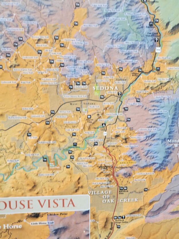
We chose the town of Sedona, located between Phoenix and Flagstaff, for several reasons. First, it is easy to fly non-stop into Sky Harbor International in Phoenix from any intermediate to large sized city in the U.S. (and perhaps internationally). Second, having been there a few times before, we knew it was filled with amazing hikes, culinary delights and breathtaking views of red rock formations. Finally, we thought the escape from the snow and cold of the Tahoe Basin would offer a respite from those sometimes-depressing realities. We were right, on all counts, as Sedona did not disappoint!!
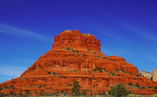
We arrived after an hour and a half (+ or -) drive from Sky Harbor to the Hilton Resort at Bell Rock which is about 8 miles south of the town of Sedona in the Village of Oak Creek. Oak Creek is a fairly laid-back residential community with the best access to Cathedral Rock, a soaring red rock landmark with trails and far-reaching desert views. Oak Creek also offers hiking and mountain-biking trails which wind around the Courthouse Butte and Bell Rock formations. The area is peppered with amazing looking golf courses and golf course resorts as well as restaurants and retail. Considering the tortuous traffic close-in to Sedona, Oak Creek has become a destination in its own right.
The check in at the Hilton was seamless and our room offered some nice vistas from our third-floor balcony. The amenities were reduced due to COVID and staffing issues but our needs were well met when it came to adult beverages and our dining needs. Our tour of the place revealed that the pools, fitness facility and spa were fully operational and well outfitted. The resort’s outdoor areas were replete with fire pits and a happy hour from 3pm – 6pm daily. More about the Hilton in Part II.
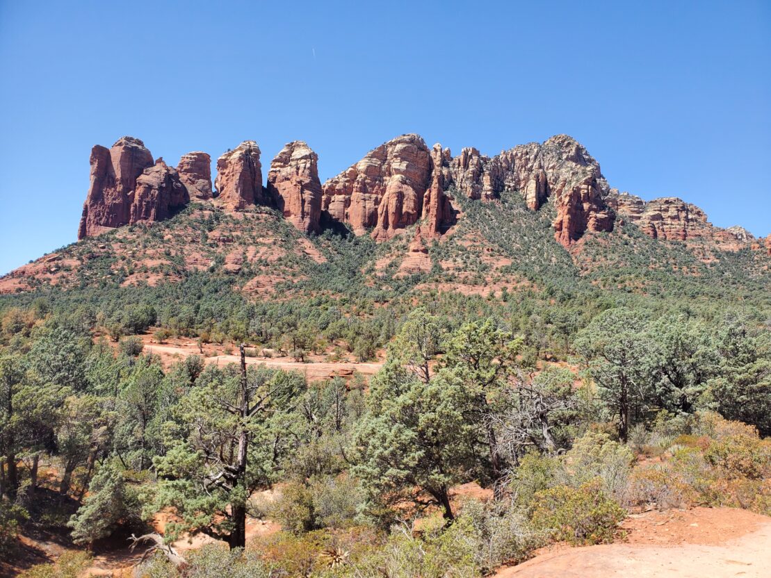
During our brief stay (only 3 full days) we enjoyed (one was a stretch for us) two amazing hikes of the dozens of opportunities available. On our first hike, we chose the Soldiers Pass Trail. Soldier Pass Trail is a 4.7 mile heavily trafficked loop trail located near West Sedona. It is rated as moderate at 4.7 miles. We thought we’d be done in a couple hours (before lunch). As is often the case, the small parking area was full and the threat of being towed, if not parked in a valid marked spot, were too real to ignore. We opted to get to the trail via a different trail head called the Jordan Trail. Fortunately, after about 10 minutes of driving and then 10 minutes of waiting for someone to leave, we got a valid ‘paid’ (common in Sedona) parking spot at the Jordan Trail Head. We chose to follow the most direct marked trail to get to the Soldier’s Pass Trail.
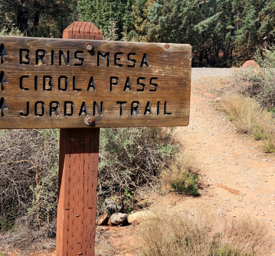
Suffice it to say, after a couple mis-directions along the Cibola, Ant Hill and perhaps other side trails we did arrive at the Soldiers Pass Trail Devil’s Kitchen Sink Hole and nearby Seven Sacred Pools. The Seven Sacred Pools were naturally carved out of red sandstone and fed by a seasonal stream. (Not sure why they are referred to as sacred.) We were there about mid-day and know that the best pictures can be created during the golden hour (last hour before sunset and the first hour after sunrise).

By this time, we had been out for about an hour and traveled about one and a quarter mile. But we had distance to cover and began the gradual climb to the hidden caves along the trail. The trail was actually fabulous with juniper forests and dry washes and only occasional open spaces subject to the sun.

After another 45 minutes and some significant elevation gain, we arrived at the three hidden caves. Hidden because they are not specifically marked on the Soldiers Pass Trail. Someone has carved a big “C” and an arrow pointing up but this ad hoc marker is very easy to miss.

Looking up through the Cave Arch (L.Compisi)
About 25 minutes on this fairly steep spur trail, we arrived at the caves which required a bit of rock climbing to get inside the three caves. The coolness of the caves was welcome and the variety of rock formations and views from inside were magnificent.

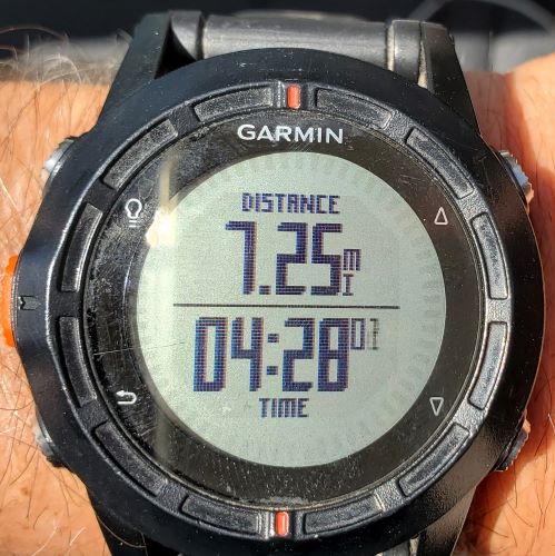
After a brief period to view the views and check out the caves (and rest), we set out to continue the Soldiers Pass Trail. At this point about 3 hrs had passed and we decided to take the Brin Mesa Trail back to our car, thereby creating a loop but we didn’t know what the total distance would be. Continuing uphill at a significant sloop we reached the top of Soldiers Pass where it intersects with the Brin Mesa. Our elevation gain at that point was nearly 1900’. Fortunately, the Brin Mesa was virtually flat for about half a mile before we started down a fairly steep downhill to the parking lot and our car! What began as a 4.2 mile out and back over about 2 hrs became a spectacular but exhausting 7.25 miles over nearly 4.5 hours!! Ouch!
The Soldiers Pass trail is primarily used for hiking, walking, and mountain biking and is accessible year-round. Some of it is also accessible by Jeep as well. Dogs are also able to use this trail but must be kept on leash. Not recommended for the rock-climbing areas. Bring water for them if you do take them.

The next day after a great dinner and a good night’s sleep, we were better prepared for our second big hike of the trip, the Devils Bridge Trail. This time we were successful in getting into the correct parking lot with just a short wait for someone to leave. Unlike the first day when we tried to hike around 10am (apparently prime time) we decided to wait for the 2nd shift i.e., around lunch time. The weather had been very cooperative holding between 64° & 69° with good breezes so the heat wasn’t going to be the issue and parking seemed better. There are several approaches that can be taken to get to the actual Devil’s Bridge Trail Head.
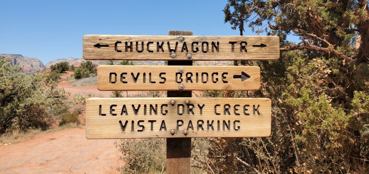
We took the one that starts from the parking lot near the trail maps. It was not crowded and kept us in a little forest of short trees. Ultimately, however, we joined in with the Dry Creek dirt road that leads to the trail head. We were in fairly heavy traffic, including vehicles, most going back to the parking lot. After about a mile or so we reached the intersection with the Devil’s Bridge Trail.
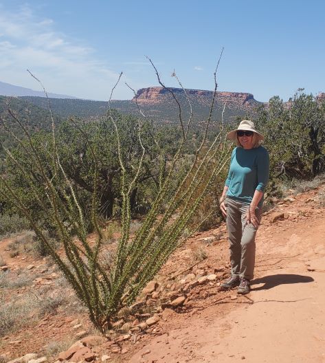
The trail was fairly gentle in the beginning but after a quarter of a mile it began a bit steeper upgrade. This grade continued for another quarter mile before the climb began to get fairly steep.

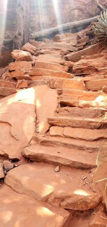
The last 5 minutes of this climb was a combination of rock steps and required some rock climbing.
The payoff was well worth it. When we achieved the clearing for the bridge there were about 25 people waiting for their photo-op! The vistas were glorious and the triumph of arriving exhilarating!
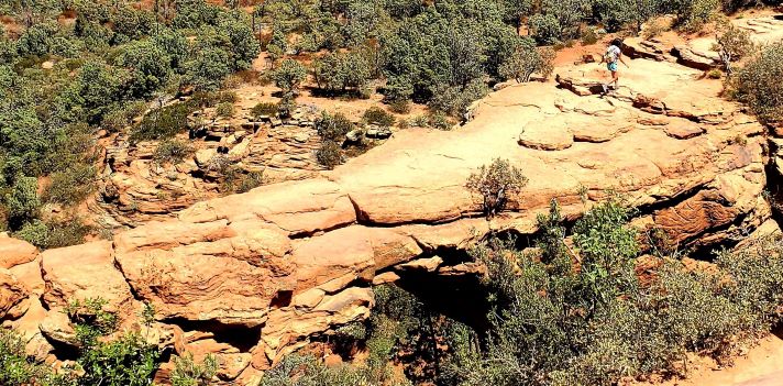
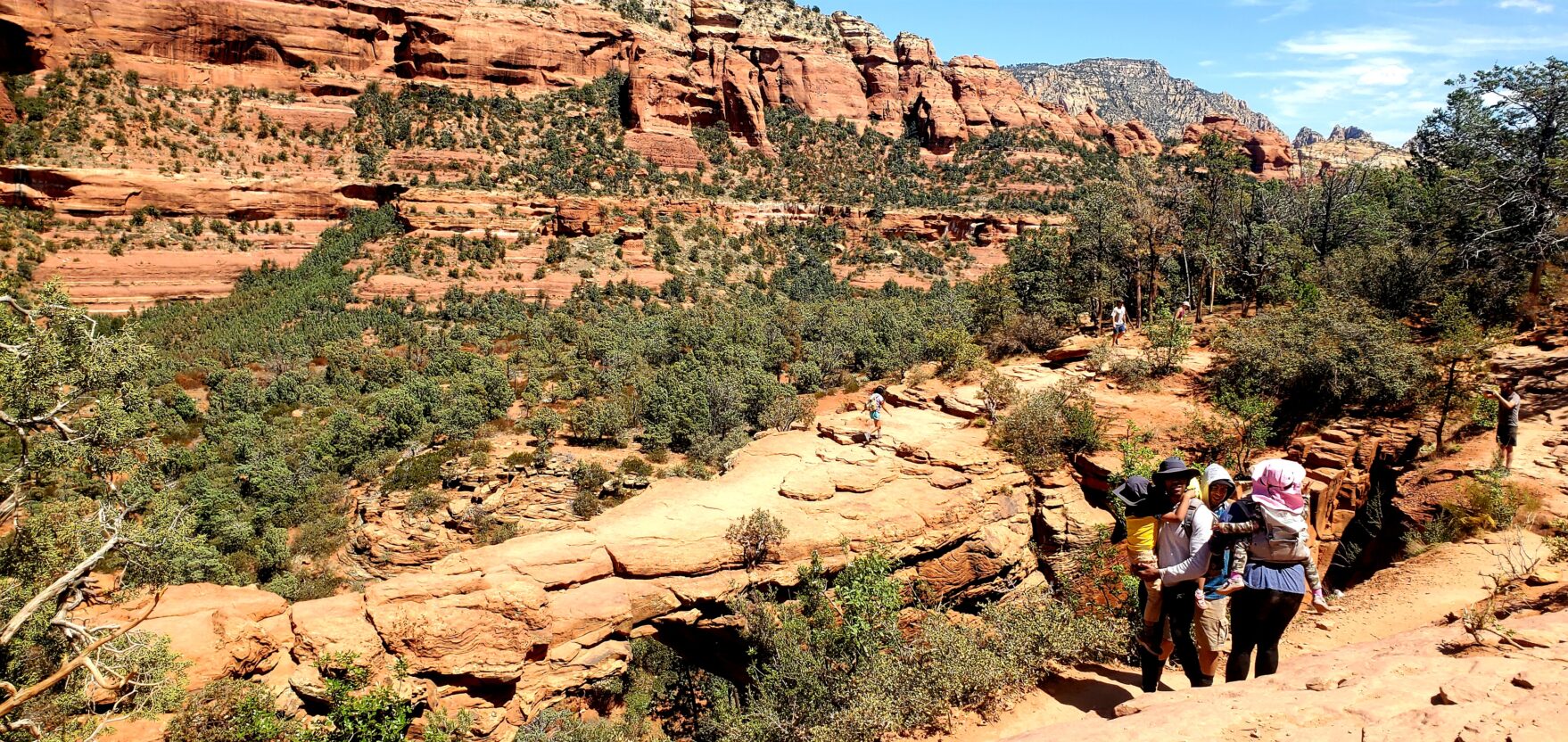
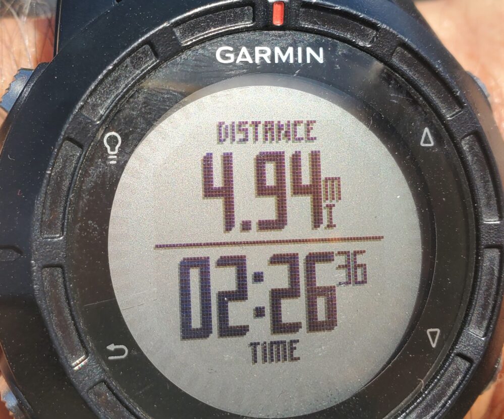
We didn’t want to wait the 30-45 minutes for ‘the picture’ so we started back down to return to the car. The elevation gain was ~400 feet and the almost 5-mile hike took us about 2 hours and 25 minutes including breaks. A very worthwhile hike but an early start, at day break, might be the best, followed by two and a half hours before sunset to get the best light.
Walking to view the various rock formations can be exhilarating without a strenuous hike with significant elevation changes. Even shorter one mile out and back from the parking lots can offer visual rewards. Recommend the Airport Mesa, Sedona Airport Scenic Lookout and Cathedral Rock, among others.
Hiking types include the usual: avoid the hottest parts of the day (Sedona gets very hot in the summer (mid 90°s), drink lots and lots of water, bring a walking stick, carry energy bars and use a GPS device if you plan on getting very adventurous. We use a Garmin Fenix for distance, direction and time recording. Works Great!
Look out for ‘Sedona Part II: Dining, Dalliances and Diversions’” where we will share our experiences and recommendations for lodging, dining and other diversions if you are not hiking.
Thank you for the adventure John.
Keep them coming
Miss you
Pam
Your welcome. 🙂 Congrats on your wine studies progress.
Hi Compisi Family
thank you for peek into your voyage in Sedona.
Hi Mitch and Colleen, Great hearing from you. Hope you guys are doing well. Know Canada has had its COVID Issues. 🙁 Be safe and stay in touch Buddies!!
HI John & Linda. We appreciate you sharing your travels. We are planning a 3rd try at Sedona in 2022 so your 2 parter will help guide us to fun. Also, hello to Mitch & Colleen among our buddies with John & Linda on a RS 2018 Adriatic.
Hello Frank and Sara, Hope you guys are great. Thanks for your comment. So great to stay in touch with our RS2018 Adriatic team!! The Part II should be out next week. Hope it is helpful. John and Linda
Have not been to Sedona but I know so many who have gone there and love it! I enjoyed your photos and commentary…
Know its not tropical but it can bring heat! 🙂 Think you and Stephen would find many things to love there. J&L